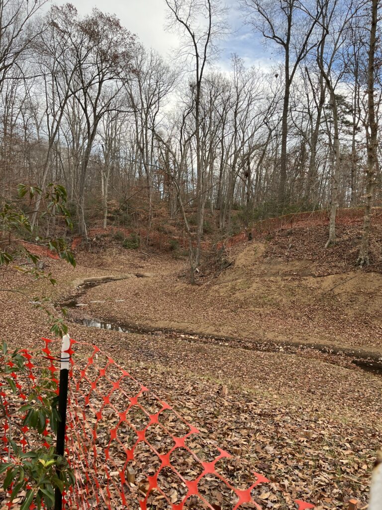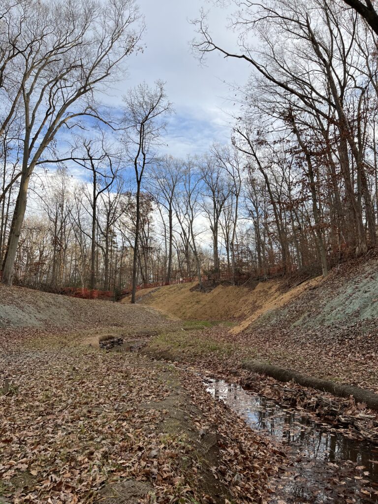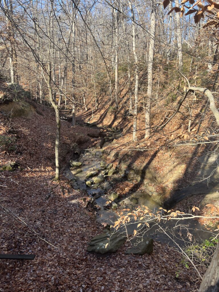
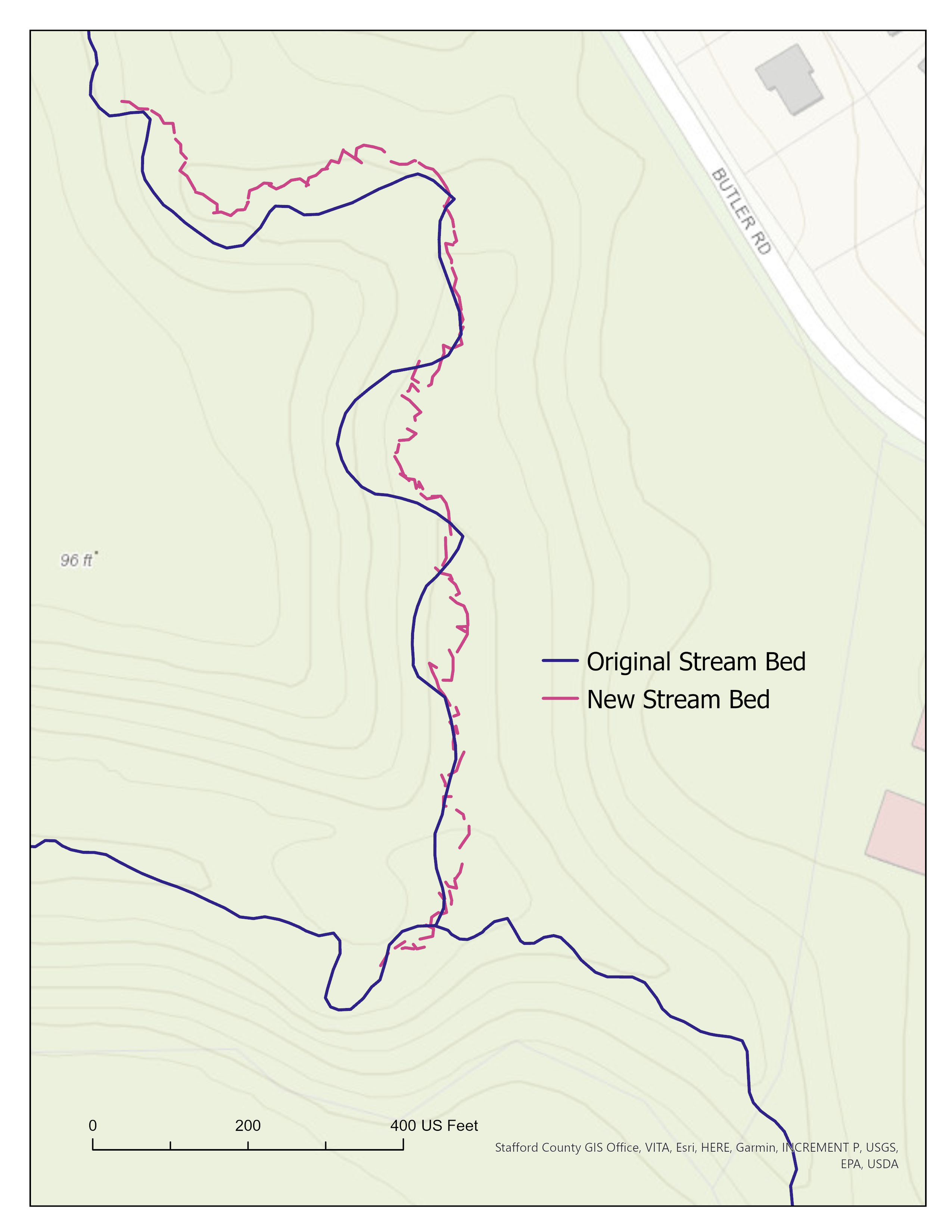
This was my final, self-directed project for Mobile GIS and GPS (GISC 355) in the fall semester of 2023. At the time of the project, a local stream restoration effort was in progress along my home disc golf course. I decided to evaluate the impact of restoration on the geomorphology of the stream. Using ArcGIS Field Maps, I mapped the new stream bed and created a map where one can directly compare the location of the new stream bed with the original stream bed.
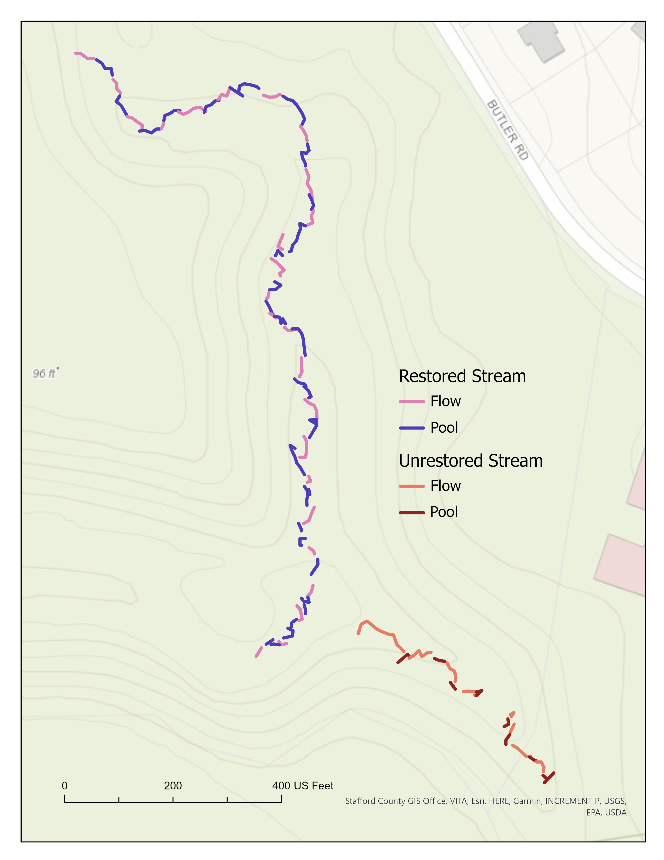
In addition to mapping the location of the new stream bed, I mapped how restoration had restructured the hydrology of the stream. Information that I recorded about the stream while collecting data included whether that particular segment of the stream was a “flow” segment (including riffles, runs, and glides) or a “pool” segment. I collected stream features for both parts of the stream that underwent alteration and those that remained unaltered.
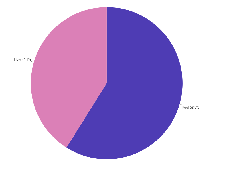
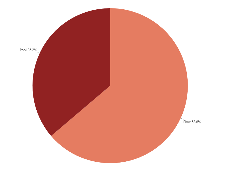
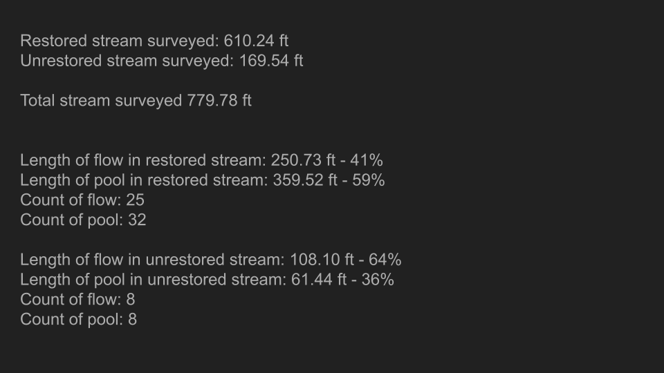
The numbers above give a quantitative description of how stream restoration altered the frequency and proportion of “flow” and “pool” segments relative to unaltered stream segments. The project was an exciting opportunity to incorporate my interest in physical processes and fieldwork in a GIS project. Below I’ve included some pictures of the study site.